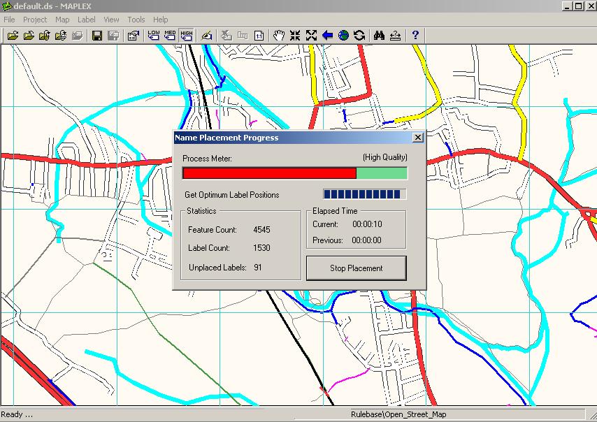
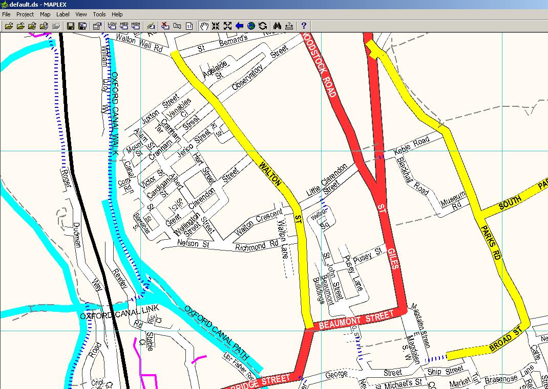
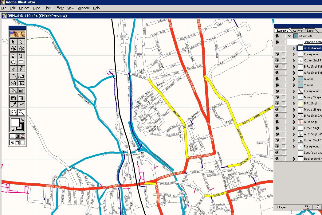
Jerome Parkin at Lovell Johns has been playing with mapinfo, maplex and OSM data to produce pretty maps and get them in to Illustrator. This open mapping stuff could really take off.
The process involved the following
- Downloading data from OSM
- Load in file into postgis
- Export to shape file format
- Re-project the data from geographic to British National Grid
- Re-coded (in arcmap) to match LovellJohns MapVU range
- Maplexed (text placement) this re-coded data
- Exported to Illustrator
As Jerome says ‘[It] looks promising as an alternative to expensive OS data.’:


Hahahahaha.
You know where Lovell Johns are based, don’t you?
(Well, ok, strictly speaking it’s the next station down the line from Charlbury.)
Pingback: OpenGeoData » Blog Archive » Have a great 2007